Griffith Park Wayfinding Signs
Cartifact
Cartifact is happy to have completed a comprehensive wayfinding project for the City of Los Angeles Department of Recreation and Parks for one of the world's largest urban parks, Griffith Park.
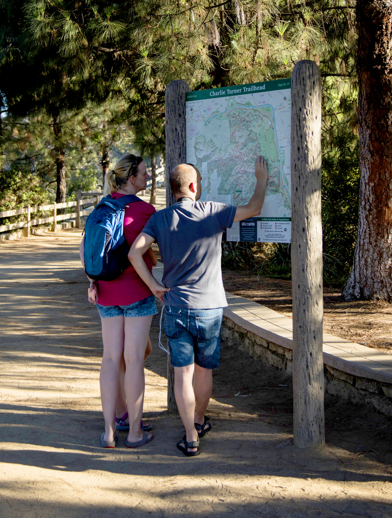
Visitors plan out their walk

Installing the large map signs
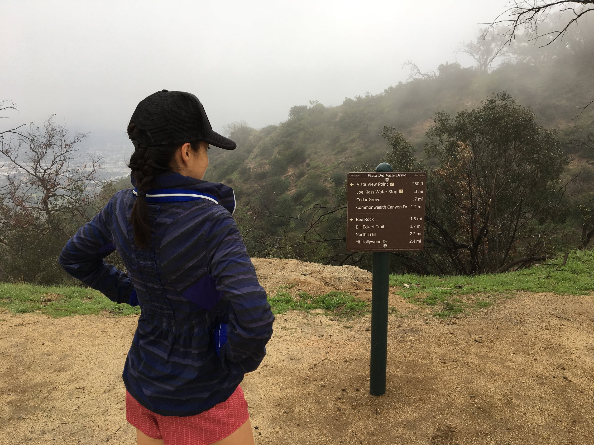
The approximately 100 signs throughout the Park include large maps at major trailheads, as well as smaller directional signs at most trail intersections. The signs were designed to be as inconspicuous as possible and to help navigate large volumes of tourists around the Hollywood Sign - a sensitive issue for local residents.
Signs are graffiti resistant and heavy duty installation is intended to minimize vandalism
We're excited to see the signs in place, and they provide a nice complement to the Map & Guide of Griffith Park, the official handout brochure which has been produced by Cartifact for a number of years. We hope our work results in the safe enjoyment of the Park, with fewer lost hikers and a more easily navigable trail system, especially for the many visitors who are tourists unfamiliar with the area.